Laser-engraved hardwood · solid brass pegs
The map remembers where you slept.
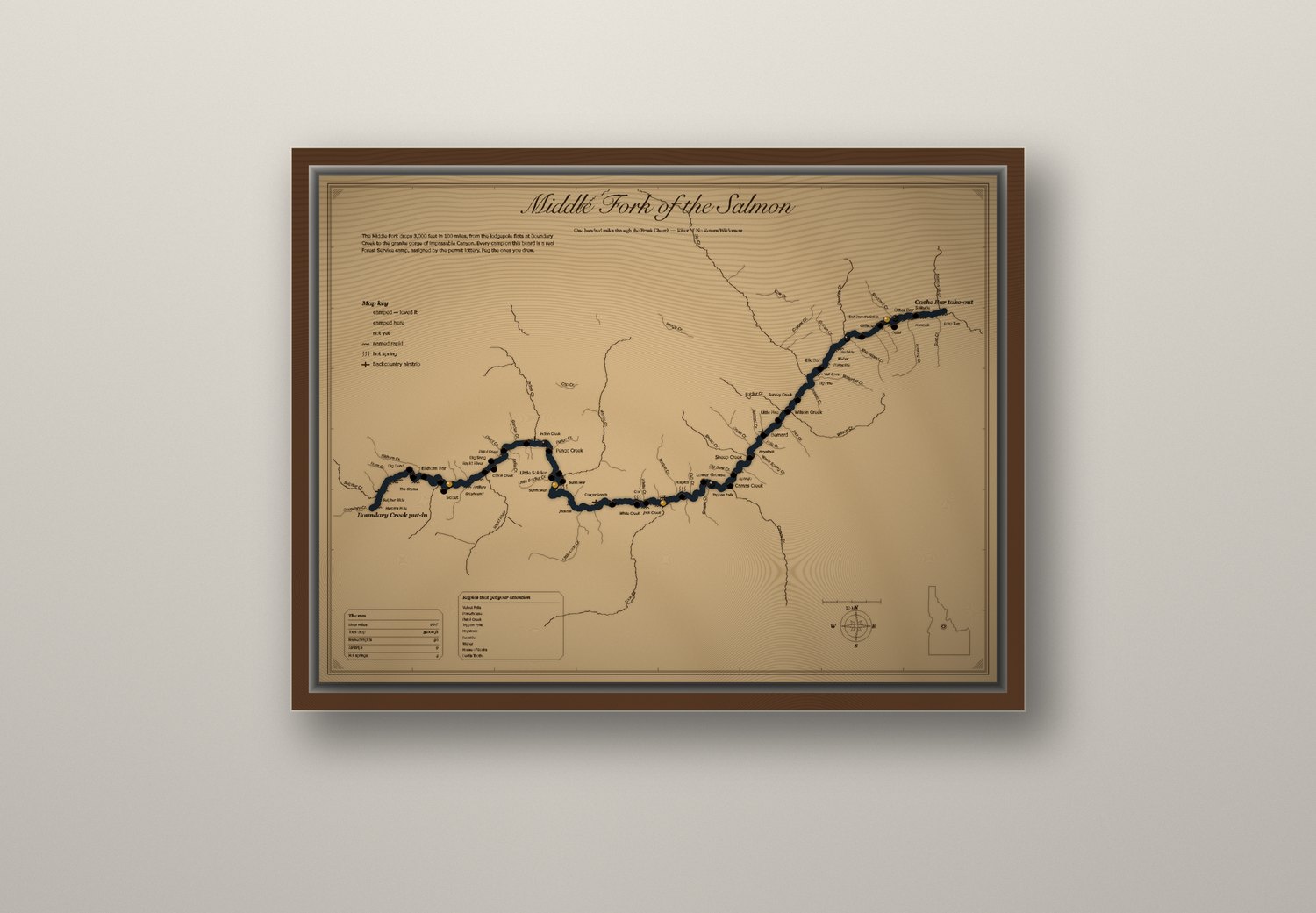
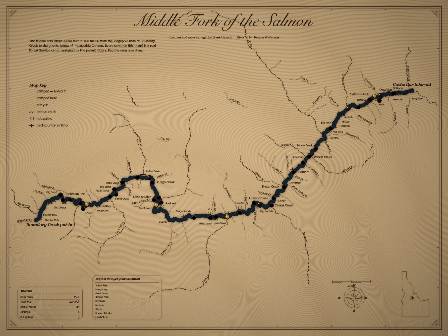
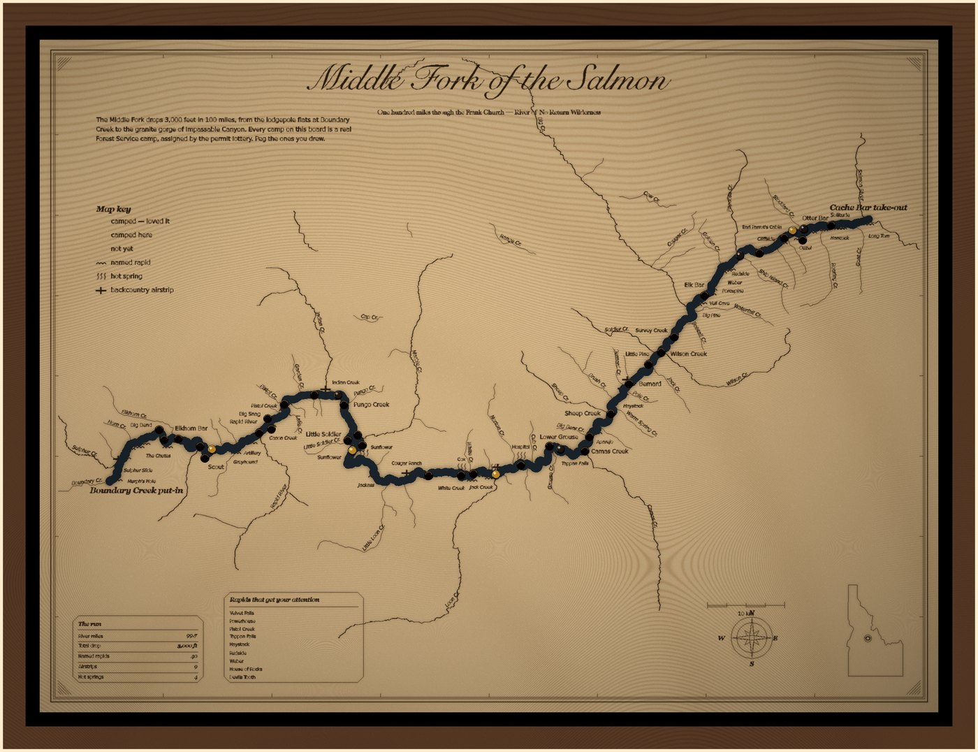
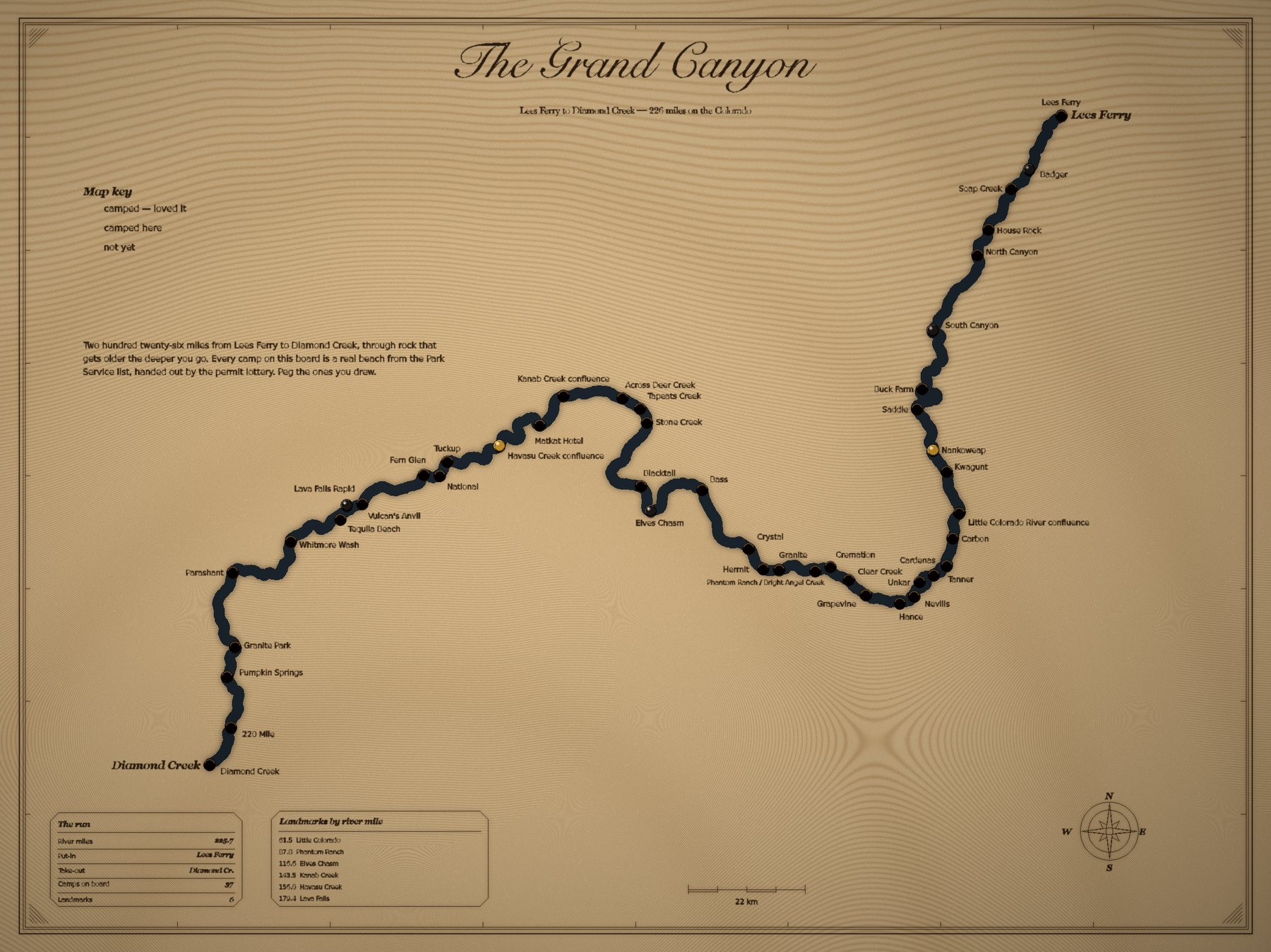
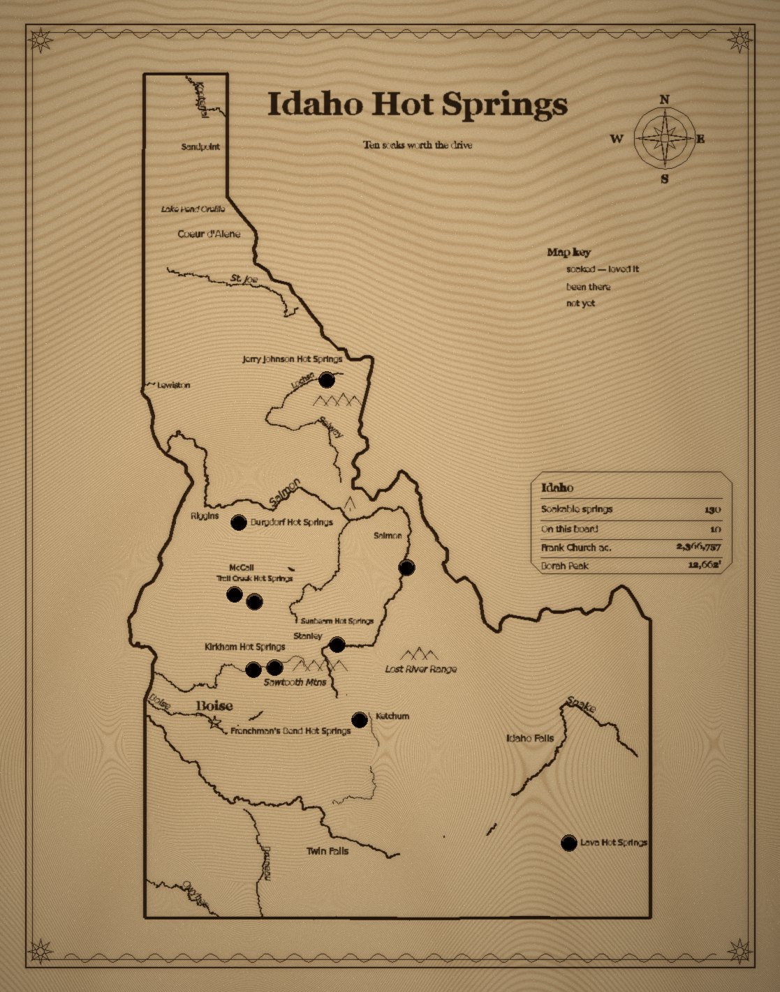
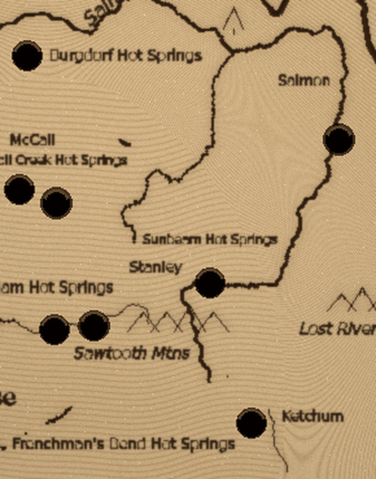
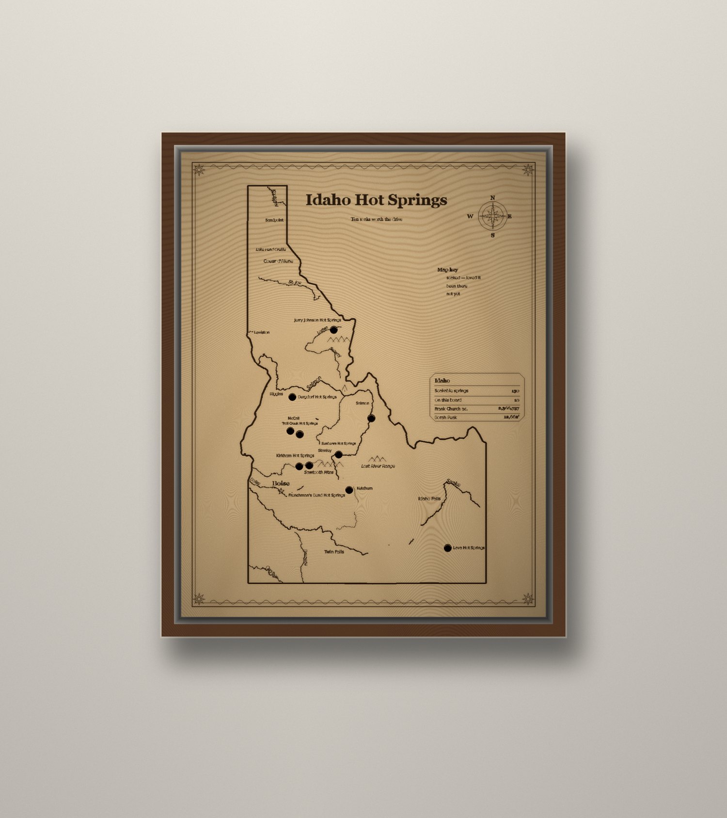
Every camp, rapid and hot spring on these boards is a real, surveyed location — pulled from Forest Service and Park Service lists, not drawn from memory. Drill-through holes wait for a brass peg. Fill them in as you go.
How it works
A map you finish yourself.
It arrives empty
Every camp, spring or landmark is drilled but unfilled. The board starts as a list of places you haven't been yet.
Peg what you've done
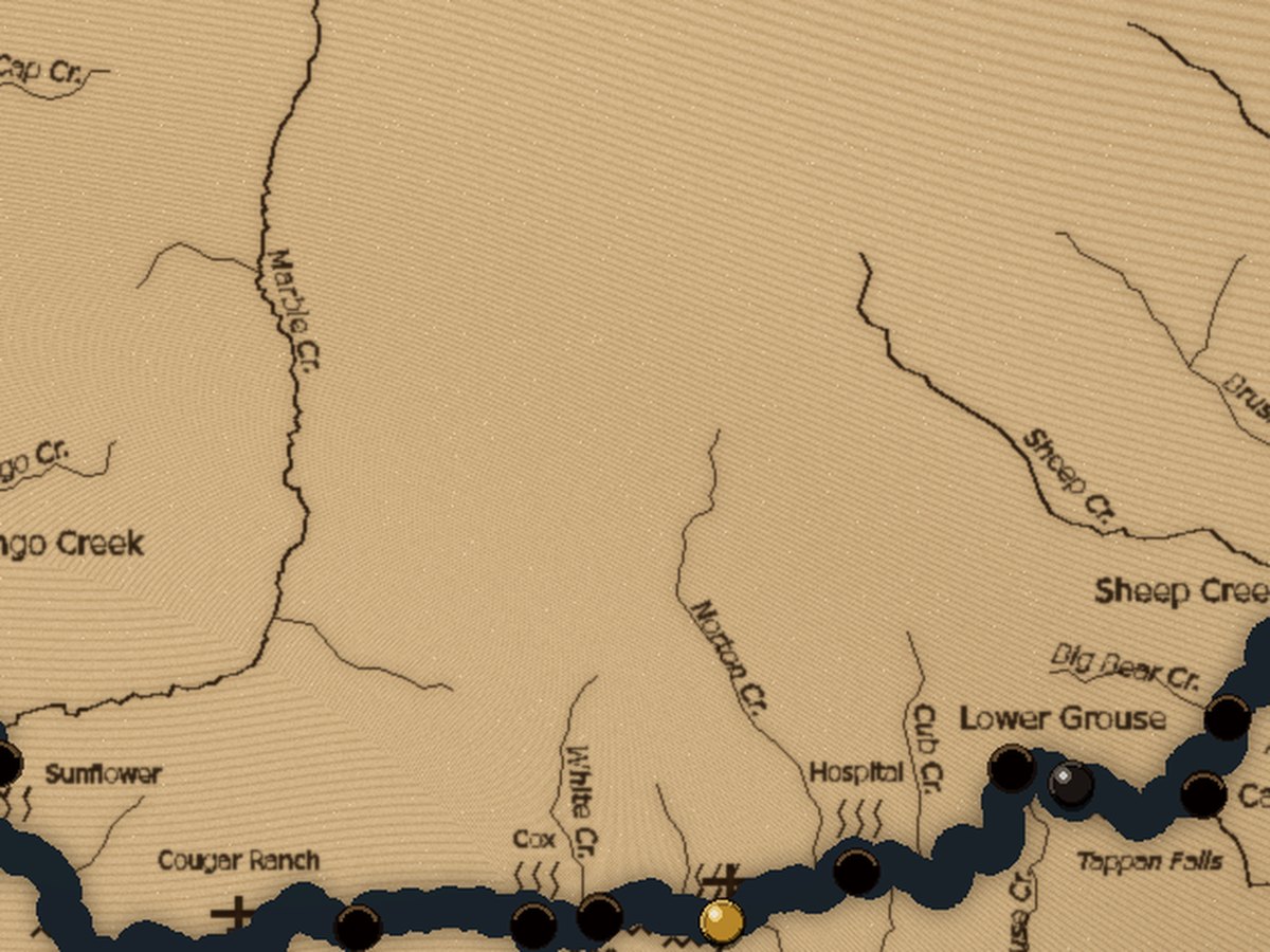
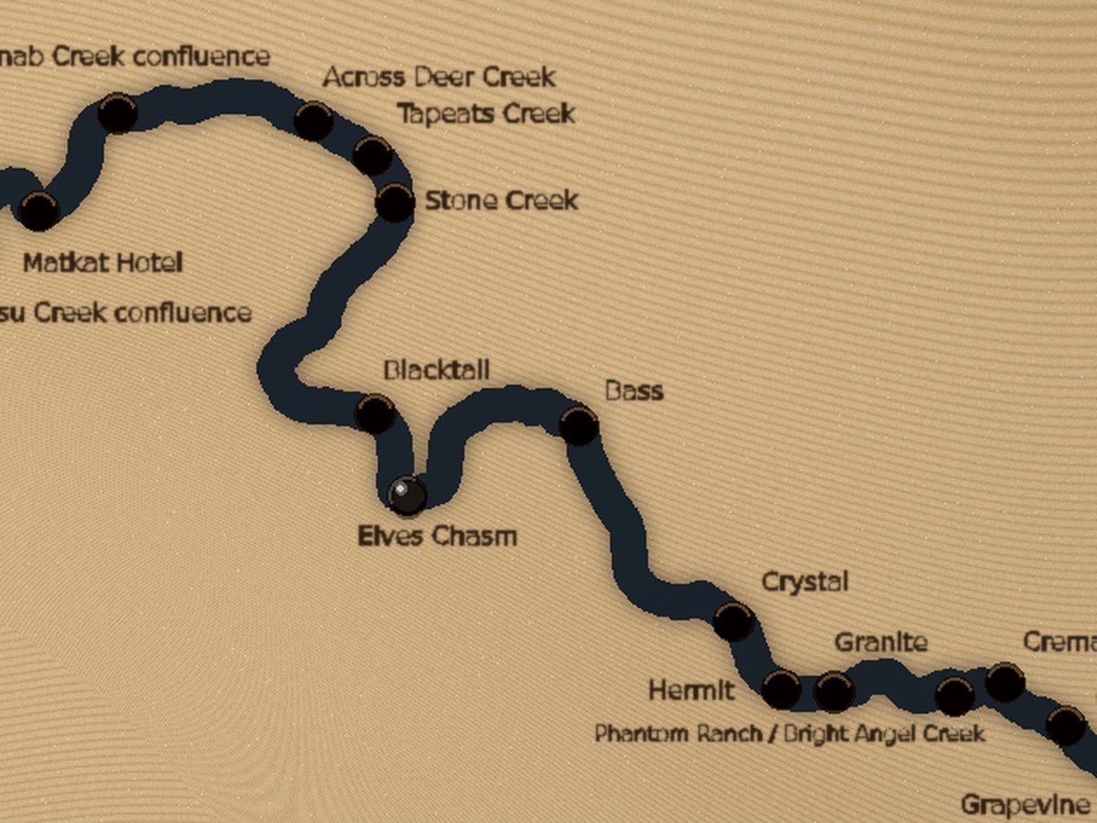
Brass for the ones worth going back to, blackened steel for the rest. Pegs press in by hand and pull back out.
It fills in slowly
Most people take years. That's the point — a trip record you can read across the room.
The detail
Real coordinates, not decoration.
Camp positions come from the agency lists that run these rivers — the Forest Service camp roster on the Middle Fork, the Park Service campsite list in the Canyon. Rapids, creeks and airstrips are placed from OpenStreetMap survey data and checked against tributary mouths.
If a name is on the board, it's on the river.
Before you order
Questions we get.
What comes in the box?
The engraved board, a set of brass and blackened-steel pegs, wall-mount hardware, and a card listing every drilled location with its river mile or coordinates.
Is it framed?
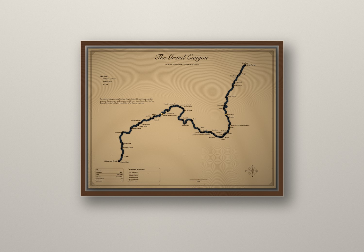
The board ships unframed and ready to hang — a French cleat is routed into the back. It also drops into a standard frame if you'd rather.
Can I get a river you don't list?
Sometimes. If there's a public camp list and usable survey data for it, we can usually build it. Rivers with no published camp roster are harder and we'll say so rather than guess at positions.
Can you add a name or a date?
Yes — a line of engraved text along the bottom edge, up to about forty characters. Permit dates and trip years are the usual ask.
How long does it take?
Boards are cut to order. Two weeks is typical; custom rivers take longer because the data work happens first.